Published on: October 28, 2022
ISRO to boost NavIC
ISRO to boost NavIC
Why in news?
The Indian Space Research Organisation (ISRO) is working on a series of improvements to the NavIC, or India’s equivalent of the Global Positioning System (GPS), so that more people are motivated to install it and use it. Plans are also afoot to make its reach global rather than circumscribe it to India and a limited territory
Highlights
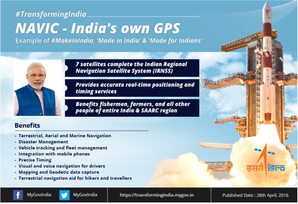
- NavIC (Navigation with Indian Constellation), or the Indian Regional Navigation Satellite System (IRNSS), is a constellation of seven satellites that is akin to the American GPS, the European Galileo and the Russian GLONASS, and can be used to track location.
- The first of these satellites (IRNSS-1A) were launched in 2013 and the latest in 2018.
What are the measures taken to increase its safety and accessibility ?
- Though available for use in mainland India as well as a range of 1,500 km around it, it isn’t in wide regular use in India primarily because mobile phones haven’t been made compatible to process its signals. The Indian government has been pressing manufacturers to add compatibility
- Currently NavIC is only compatible with the L5 and S bands and hasn’t easily penetrated into the civilian sector and therefore getting ready with L1 band satellites now.
- There’s Long Code and Short Code. Currently (NavIC) only provides short code. This has to become Long Code for the use of the strategic sector. This prevents the signal from being breached. This had been part of the original scheme for NavIC but less work has gone into it so far.
- There are five more satellites in the offing to replace defunct NavIC satellites that would be launched. However, to make NavIC truly “global” like GPS, more satellites would need to be placed in an orbit closer to earth than the current constellation.
- NavIC’s reach is only 1,500 km beyond Indian territory but for ships and airplanes travelling beyond that would need satellites in Medium Earth Orbit. To make this global at some point, MEO satellites are needed.
- Currently, NavIC satellites orbit earth in a geostationary or geosynchronous (GEO) orbit, or about 36,000 km from earth. MEO orbits occupy a space between GEO and Low Earth Orbit (LEO), or about 250-2,000 km from earth.